

Tackling Environmental Threats
Preserving The Bahamas’ natural beauty
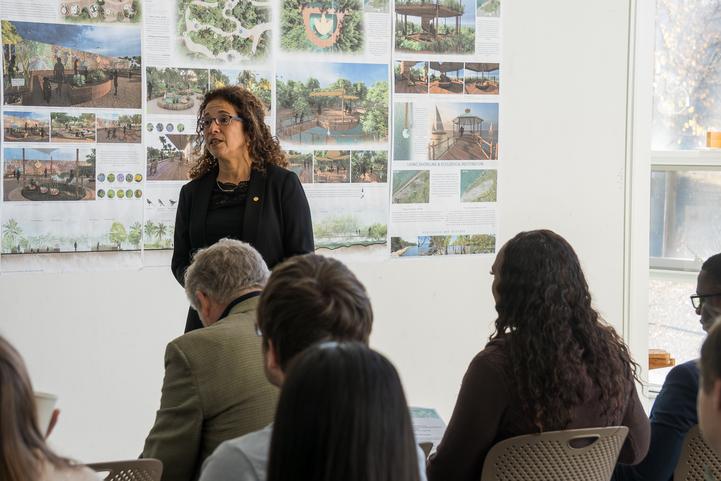
The waterfront is central to community life in Tarpum Bay on the archipelago island of Eleuthera. And students in Professor Hala Nassar’s landscape architecture studios have partnered with the local community to cast a vision for its future. Undergraduate and graduate students used feedback from Tarpum Bay community members to create designs for the waterfront that preserve the town’s identity while solving environmental and ecological challenges. Their proposals will be considered by Tarpum Bay locals, government officials, members of Parliament and government ministers this year before select students travel to the site with Nassar in a new study abroad offering.
See what community-conscious design can doUniversity News
see more stories
Clemson University has set bold yet achievable goals for a new era with a strategic plan focusing on three pillars: student experience, research and transforming lives. Clemson Elevate is designed to further strengthen our reputation and continue our rise in national recognition.
See Our PlanAchieve Academic Excellence
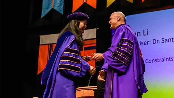
A Carnegie R1 public research institution, Clemson University is where purpose-driven students, faculty and staff collaborate on projects that impact our state, country and world. Across more than 80 undergraduate majors and 130 graduate degree programs, artists, scientists, authors and engineers begin the work that will define their careers and our culture. Discover the many paths ready for pursuit at Clemson.
Join the Clemson Family
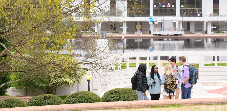
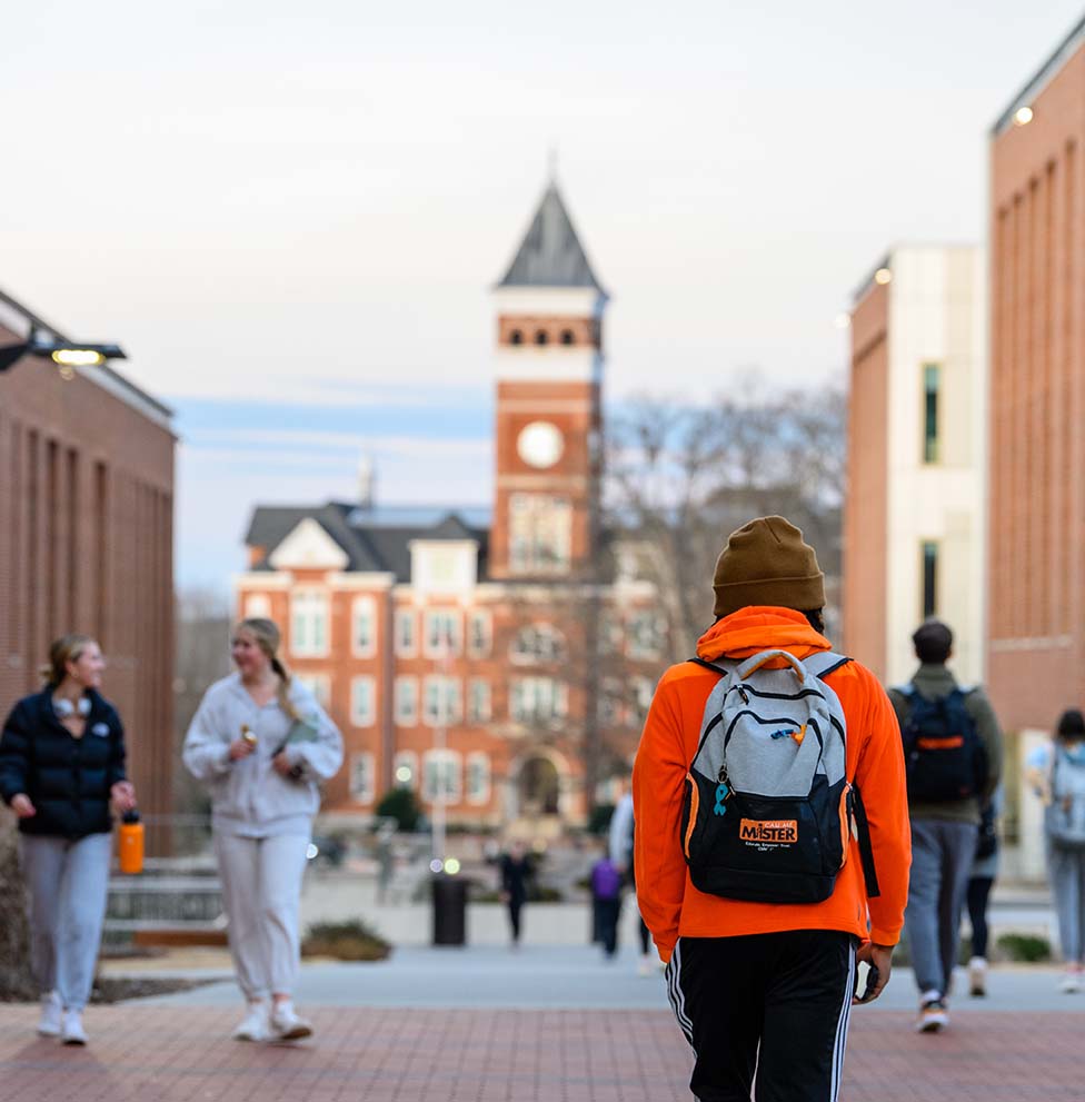
No one leaves Clemson a stranger to success. Come meet our vibrant community of dedicated students, faculty and staff. Once you walk through campus and listen to the carillon play, you’ll understand why Clemson alumni hear the bells and feel like they’re being called home.
Visit Clemson Apply for Admission Cost and Aid